Wellness
The Hidden Nature Walks Locals Love But Tourists Miss
While visitors crowd Red Rocks and the 16th Street Mall, Denver's most devoted trail runners and weekend walkers are quietly claiming something far better.
4 min read
Wellness
While visitors crowd Red Rocks and the 16th Street Mall, Denver's most devoted trail runners and weekend walkers are quietly claiming something far better.
4 min read

Denver parks staff logged more than 4.2 million visits to City Park and Wash Park combined last summer — and that's precisely why the people who live here have stopped going. The city's best outdoor fitness terrain isn't behind a paywall or a long drive. It's tucked into neighborhoods that don't make the tourism brochures, and regulars are in no hurry to share the coordinates.
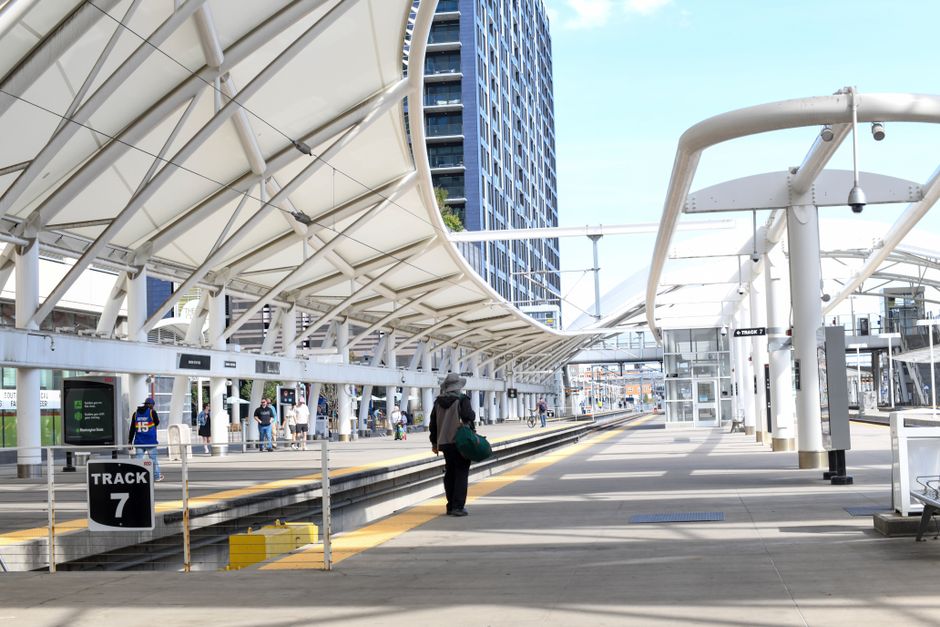
The timing matters. Denver's population crossed 750,000 residents in the 2025 city estimate, and the surge in remote workers who relocated during the early 2020s has permanently changed how — and when — people use public green space. Denver Parks and Recreation counted a 19 percent increase in weekday trail use between 2022 and 2025 along the South Platte River Greenway, as newly flexible schedules pushed fitness culture off the weekend-only calendar. More bodies on the popular paths means the under-mapped spots are quietly having their moment.
Bear Creek Greenbelt in southwest Denver is the one regulars mention first. The trail runs roughly 12 miles from Sheridan Boulevard through Lakewood and into Morrison, hugging Bear Creek the entire way. On a Tuesday morning in late June, you might share the path with a handful of cyclists and one or two dog walkers — nothing close to the shoulder-to-shoulder conditions at Confluence Park, three miles north. The trailhead at South Estes Street has free parking and a restroom, which sounds unremarkable until you've circled a Red Rocks lot for 25 minutes.
Farther east, the Westerly Creek Trail through Central Park — the neighborhood, not the famous New York one — threads past restored wetlands and native grasses that Denver Botanic Gardens staff helped replant through a 2023 habitat partnership with Denver Water. The trail connects to the High Line Canal Trail, a 71-mile corridor that Denver Water has managed since 1883 and that the nonprofit High Line Canal Conservancy has been methodically upgrading since 2017. The conservancy's current phase of improvements, budgeted at $3.4 million, targets the stretch between Hampden Avenue and Quincy Avenue — adding lighting, wayfinding signs, and bench seating through early 2027. That section runs through Centennial and Greenwood Village but connects back into Denver's boundaries near Cherry Hills Village, and on weekday mornings it functions as a long, uninterrupted outdoor gym.
The Sanderson Gulch Trail in the Harvey Park neighborhood is another one. It's only about 2.5 miles long, but it drops into a genuine riparian corridor — cottonwoods, red-winged blackbirds, actual shade — that feels genuinely separate from the surrounding residential grid. Denver's Urban Drainage and Flood Control District completed a $6.8 million restoration of the gulch in 2021, and the result is a trail that prioritizes habitat over amenities. No food trucks, no Instagram murals, no crowd.
The common thread across all these routes is that Denver Parks and Recreation doesn't heavily promote them. The department's official trail map, updated in March 2026 and available free at any recreation center, lists 155 miles of off-street trails inside city limits. Most visitors — and plenty of newer residents — work from a mental map that tops out at five or six names. The rest are sitting there, largely unbothered.
A few practical notes. Bear Creek Greenbelt has minimal shade on its eastern stretches; bring water and start before 8 a.m. in July if heat is a concern. The High Line Canal Conservancy publishes a free downloadable trail guide at its website that breaks the full 71-mile route into 14 manageable segments, each with trailhead GPS coordinates and surface condition ratings. And the Denver B-cycle network — the city's bike share program, with 700 bikes across 100 stations as of June 2026 — can get you to Westerly Creek and the South Platte Greenway without dealing with parking at all.
None of this requires a membership, a permit, or a particularly early alarm. It mostly requires knowing where to look — and being willing to skip the obvious answer. Anyone wanting guidance tailored to their specific fitness level or health needs should check in with a local sports medicine or primary care provider before ramping up mileage in Denver's summer heat.
About this article
Published by The Daily Denver
Spread the word
Daily brief
Free, in your inbox before 7am. Weekdays.
The Daily Network — local news across Australia