wellness
Denver Runners Conquer Three Epic Routes at Mile-High Altitude
Denver's best running follows the Cherry Creek Trail through downtown, loops the crushed-granite paths of Washington Park, and takes in Front Range views from City Park, all at the mile-high altitude that makes the city a genuine training challenge.
How we reported this
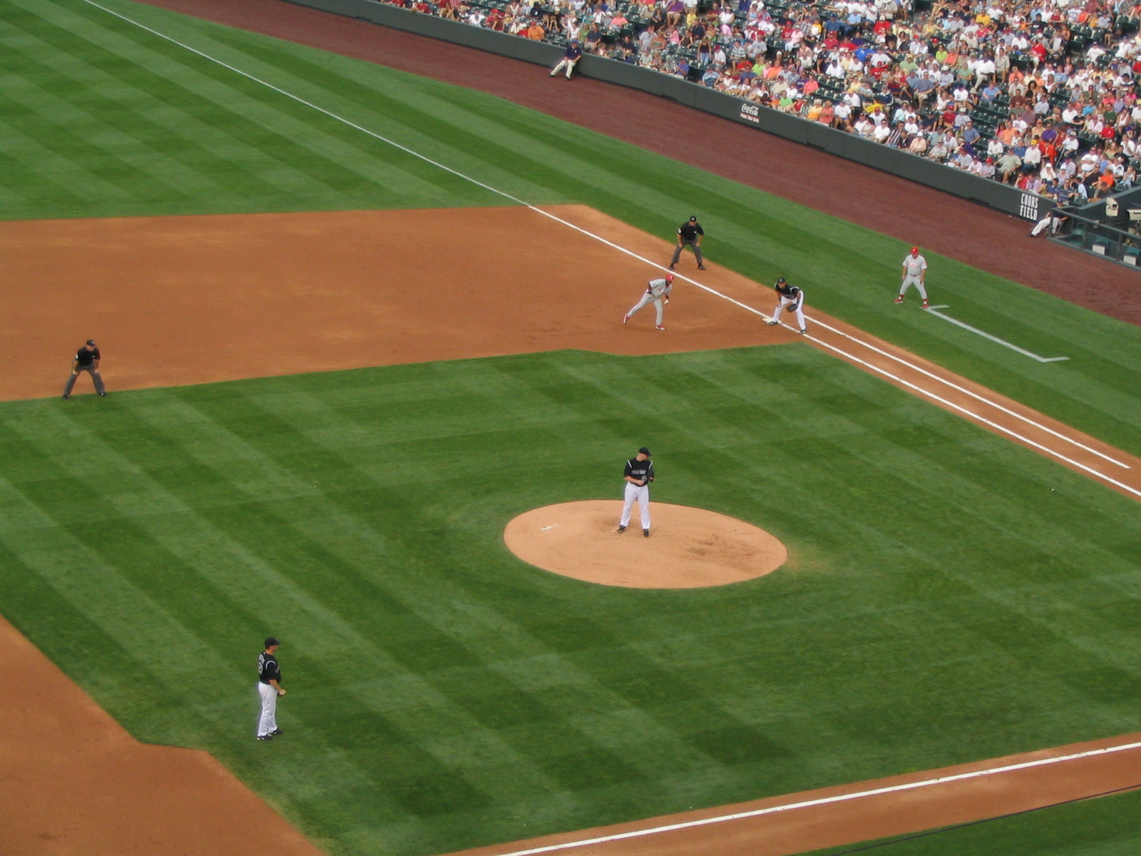
Denver runs at 5,280 feet, and its altitude is as much a part of the running experience as its trails and mountain views. Here are the best running routes in Denver for 2026.
The Cherry Creek Trail
The Cherry Creek Trail runs about 4 miles from Confluence Park southeast to the Cherry Creek Shopping District, part of a full trail reaching up to 42 miles, mostly flat and paved with parallel dirt paths. It is Denver's signature urban run, passing the Convention Center, the University of Colorado Denver and the 16th Street pedestrian mall, though several busy street crossings mean runners should stay alert at intersections.
Washington Park
Washington Park, known locally as Wash Park, offers a 2.3 mile outer loop over 150 acres, on a softer crushed-granite jogging path plus paved roads, with two lakes and two flower gardens including a replica of George Washington's garden at Mount Vernon. It is one of the city's most beloved running spots, packed at dawn and dusk.
The High Line Canal Trail
The High Line Canal Trail runs 71 miles total, one of the longest urban trails in the United States, predominantly flat on hard-packed dirt with some paved sections and shaded by mature cottonwoods. Its most scenic stretch is the roughly 6 miles between Three Pond Park and Orchard Road past the Blackmer Commons wetland preserve.
City Park and Sloan's Lake
City Park's Blue Sky Run is a roughly 5 mile loop, extendable to 7 miles, on paved paths with postcard views of the downtown skyline backed by the Front Range, home to Ferril Lake and the start and finish of the Colfax Marathon. Sloan's Lake Park offers a 2.6 mile paved loop around Denver's largest lake with 24-hour lighting and mountain views across the water.
Running the Colfax Marathon Route
The Colfax Marathon, Denver's marquee race run each May along East Colfax Avenue, billed as the longest commercial street in America, starts and finishes at Ferril Lake in City Park and routes runners across the warning track inside Empower Field at Mile High and past Sloan's Lake, at elevations ranging from about 5,180 to 5,480 feet.
Practical Guide to Running in Denver
Visiting runners should account for the altitude, where oxygen is roughly 17 percent lower than at sea level, by arriving 2 to 3 days early, hydrating more and starting conservatively. Cherry Creek and Washington Park are the most reliable central choices; the High Line Canal is the pick for anyone wanting long, shaded distance.